The Middle Ages were a turbulent time and moated properties were quite a common sight. Although they were initially built for defence they were later used more as status symbols. The Hobs Moat site has been traditionally referred to as a castle, so was probably fortified.
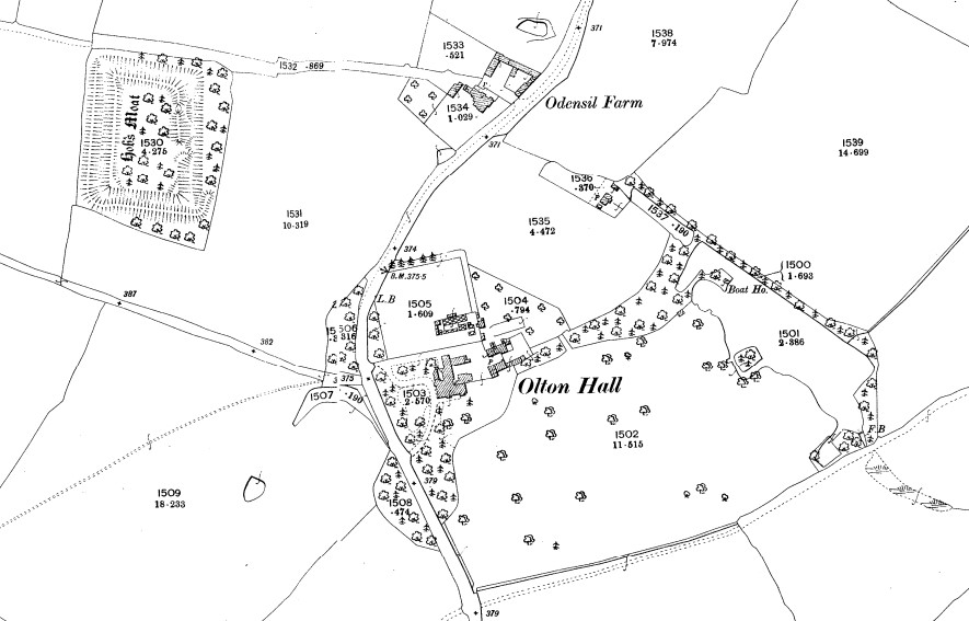
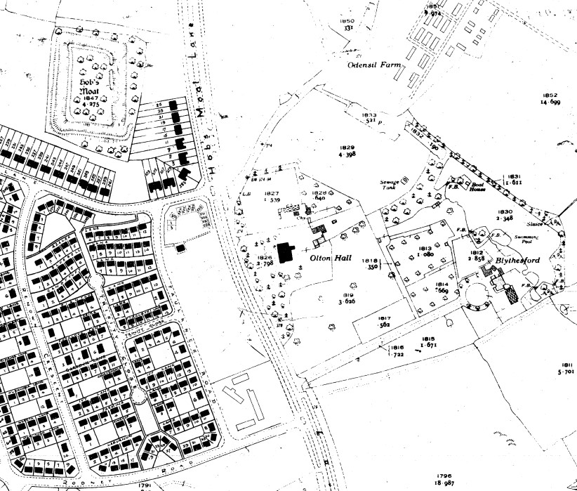
The Monument is located approximately 60 metres north of Castle Lane and runs parallel to Hobs Moat Road for approximately 137 metres. Solihull town centre is approximately two miles south and the A45 is about one mile north.
At the time of the Norman Conquest in 1066, the surrounding area was part of the Manor of Ulverlei. William the Conqueror gave this to Christina, granddaughter of King Edmund II and she held it until just after the Domesday Survey of 1086.
The manor was then awarded to Ralph de Limesi (1040-1093), a Norman knight who came to England as part William the Conqueror’s forces. The manor was held by the de Limesi family until the early 13th century, when it passed to the de Odingsells family following the marriage of Basilia de Limisi to Hugh de Odingsell.
In 1242 the de Odingsell family obtained a royal charter for Solihull, which was by then outgrowing the “Oulton” or “Old Town” of Ulverlei. The charter granted them the right to hold a weekly market and an annual fair every April.
William, one of Basilia and Hugh’s sons, is thought to be responsible for building the moat and manor house, which is believed to have been made of wood, as he was the first resident lord. He died in 1264, leaving the manor to his son, who was also called William and who died in 1295.
During the time that Hobs Moat was occupied by the de Odingsells England saw the signing of the Magna Carta and rebellions from some of the barons. Also there were wars with France, Scotland and Wales at varying times.
It is not clear as to exactly why or when the property was abandoned, but two major events occurred in the 14th century, which may help to explain it. The first in 1315-17, was a great famine that affected northern Europe killing around 10 per cent of the population. This was followed in 1348 by the arrival of Bubonic plague. This was even more devastating, with an estimated death toll of about 40 per cent.
Certainly by the mid-17th century, when historian Sir William Dugdale visited Olton, no obvious traces remained of any dwelling. He was doing research for his book Antiquities of Warwickshire which was published in 1656. During his visit he found that only “a parcel of old oaks were growing on the spot”.
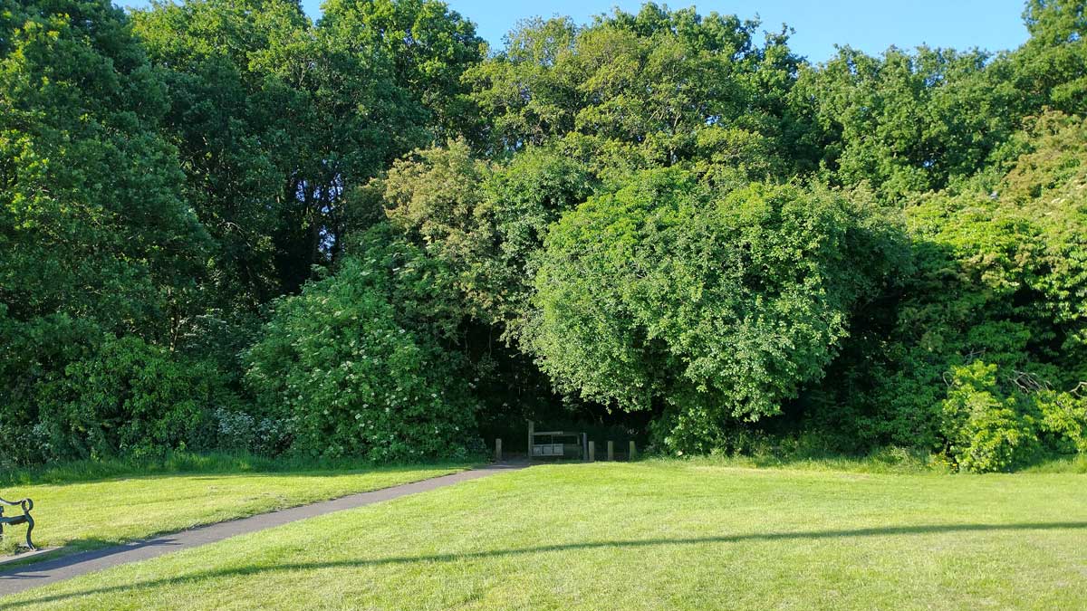
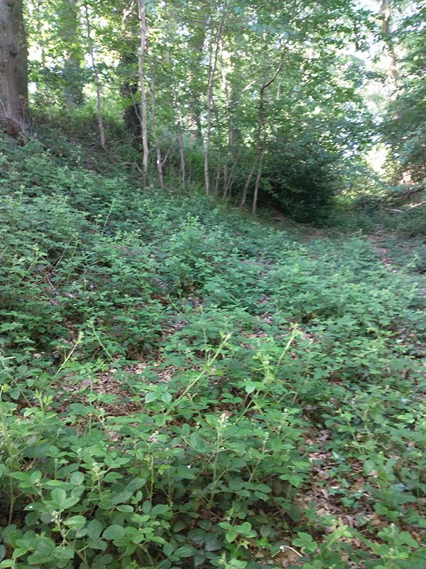
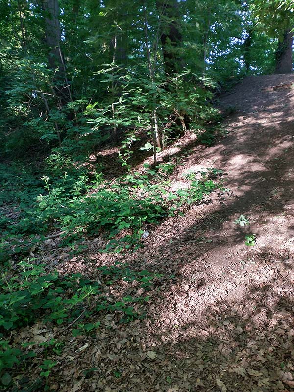
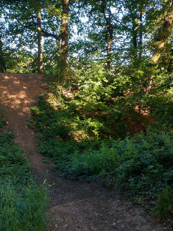
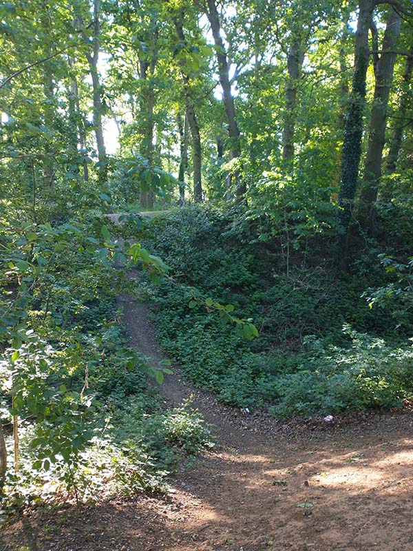
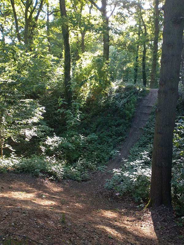
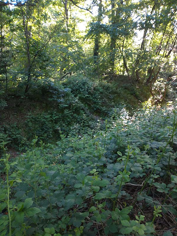
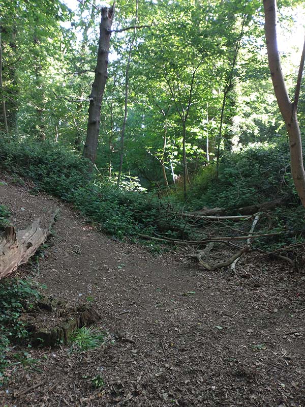
Sadly, these oaks are no longer with us, but due to a programme of planting in the 1780s the site has a thick covering of trees giving it the appearance of a small wood. Owing to the covering of trees, it is necessary to go into the wood to see the moat.
Human traffic on the site was minimal up until the mid-20th century, due to the rural nature of the area. However, the pressure for new housing from the 1930s onward meant the area was rapidly urbanised. In fact it only took about 20-30 years for it to be developed to the extent it is today.
The increased human traffic using the site meant that by the 1980s there was enough concern about its future that an archaeological dig took place. This was to effect repairs and to see what finds could be made. The maintenance work was very successful but very few finds were made, although evidence was found of occupation during the 13th century. For more details of the archaeological survey and Hobs Moat Community Project, see the Hobs Moat website.
The prevailing theory is that Hobs Moat got its name from Hoginsells a corruption of Odinsells. Although, another theory does exist that sometime after the dwelling fell into disuse it may have been used for “pannage”. This is the practice of releasing domesticated pigs (hogs) into a wooded area to eat acorns, chestnuts and other nuts.
A third, maybe more fanciful theory exists, which is that it’s named after a “Hob”, a mischievous elf like creature. But years ago these things would have been taken more seriously than today. The tree covered site would have lent itself to stories, as it would have stood out for some distance, being surrounded by farmland.
On 16th October 1936, Hobs Moat was first listed as an Ancient Monument. It now has Scheduled status with Historic England (no. 1014043). This means that it is of national importance, being one of the largest sites of its kind.
The moat and adjoining amenity grassland, approximately four hectares (10 acres), was designated a Local Nature Reserve in 2009. The Borough of Solihull currently has 23 Local Nature Reserves designated by Natural England, and the local authority is responsible for their upkeep, although local volunteers provide invaluable support.
Imagining what Hobs Moat was like in its prime is now quite difficult, so looking at other moated sites may be helpful. They do vary quite a bit in size, age and state of repair, but by comparing a number of them it can help form a better picture.
The closest one to Hobs Moat that is open to the public is Baddesley Clinton which, is approximately 9 miles away. It is owned by the National Trust and is mainly 16th century.
Another example, admittedly much further away, is Penhallam Manor. It’s in Cornwall and is a ruin and much smaller than Hobs Moat but it was occupied and then abandoned around the same time. It is owned by English Heritage Penhallam Manor | English Heritage (english-heritage.org.uk)
Further Reading – available for reference at The Core Library
Warwickshire Being a Topographical Description of the Towns and Villages in the County of Warwick by William Dugdale and others
Olton Heritage by Jean Powrie, Margaret Jordan and Carol Andrews (R942.497)
Solihull and its Church by Robert Pemberton (R942.497)
Hobs Moat Archaeological Project Excavation 1985-86 (R623.194249)
Hobs Moat Archaeological Project Research and Design 1986 (R623.194249)
Andy
Library Assistant, The Core Library

How interesting, as a child I with friends used to ride up and down the ‘moat’ on our bikes, not knowing the true history of the place and I always remember the beautiful show of bluebells in the spring, great to see that it is now heritage listed. regards Marg. P.S. I was born at the bottom of Hobs Moat Road.