If you’ve ever wondered what was previously on the site of your house, or wanted to find out where your ancestors lived, then historic Ordnance Survey (OS) maps are often a good place to start.
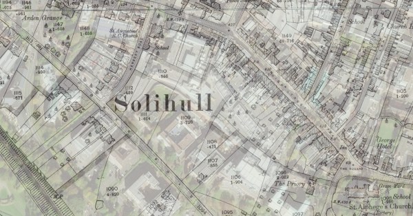
Thanks to the freely available maps of England & Wales on the National Library of Scotland (NLS) website, it’s now possible to see some of the old OS maps overlaid onto a modern satellite image, making it much easier to get your bearings.